South Cottonwood Creek Trail
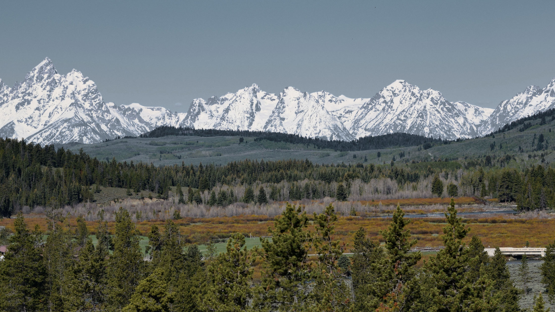
South Cottonwood Creek Trail ranks number one on my favorite list. The fact that it's fairly close to my house helps (if you're heading west, turn left at the intersection of Cottonwood Rd. and Huffine Ln., travel approximately 7.5 miles to Cottonwood Canyon Rd., which is a dirt road, and follow Cottonwood Canyon Rd. to its termination point and the trailhead will be on your right). The trail parallels South Cottonwood Creek for most of its duration, and rather than being an all-up and then all-down type of trail, South Cotton follows rolling terrain right up to the southwestern flank of Mt. Blackmore (approx. 11 miles from the trailhead). This makes it ideal for more mellow hiking or a trail run where you can open up the throttle on occasion. Also great for visiting family members who aren't quite acclimated enough for a hike up Baldy. Another nice thing is the log bridges. The trail crosses South Cottonwood Creek at approximately the 1-mile, 2-mile, 2.5-mile, and 5-mile distances. This makes it nice to time your hike/runs. Just after the 5-mile bridge, there is a beautiful meadow with the mountains looming in the distance. Which, in my humble opinion, is one of the most jaw-dropping views in this area; especially if there's still a blanket of snow on the peaks. At 6 miles there is a junction with the History Rock trail, which makes for a nice hike with a shuttle. After that junction, heading on towards Blackmore, the trail is far less traveled and has a remote, middle-of-nowhere feel. I find that to be a nice feeling. It's a pretty nice day, so when I finish this blog entry, I believe I'll head out that way. South Cottonwood Creek trail is open to foot traffic, mountain bikes, and horses. See ya there...
Posted by Tamara Williams on


Leave A Comment